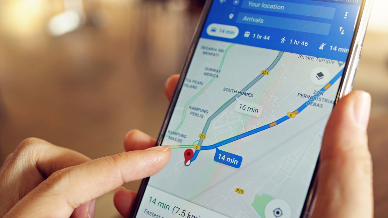
How the new Google Maps update could save lives during natural disasters

Google Maps is useful for providing directions to places you’ve never been before, whether it’s the petrol station around the corner or a new and exciting adventure to a city.
The app has since announced big changes, which include the ability to potentially save your life during a natural disaster.
Google Maps has recently announced its SOS alerts were being updated to include real-time visual information as well as a navigation warning system in times of crisis. This is to help users better understand what they need to do to stay safe.
The SOS alerts were introduced two years ago, but these changes are sure to be helpful, the New York Post reports.
The latest updates include “detailed visualisations about hurricanes, earthquakes and floods”.
“In the days leading up to a hurricane, you’ll see a crisis notification card on Google Maps that automatically appears if you’re near the impacted area,” Hannah Stulberg, product manager of Google Maps, explains.
“This card will direct you to a hurricane forecast cone, which shows the prediction of the storm’s trajectory along with information about what time it’s likely to hit certain areas, so you can use this information to plan how to react.”
Google Maps also follows a similar process for earthquakes, where it will show earthquake shakemaps following the strike. Users are also able to see where the epicentre of the earthquake was, the quakes magnitude and how much it impacted the surrounding areas.
The flood forecasts will be able to show you where flooding is likely to occur as well as how severe the flooding will be.
Hurricane forecast cones and earthquake shakemaps will be rolled out on iOS, Android, desktop and the mobile web worldwide in coming weeks.
Navigation warnings are set to hit iOS and Android soon as well.
